Carte
Saison
Description
This area was almost the first area discovered at Beulah. Almost. However on that fateful day, we rolled the quad, almost broke a wrist and called it a day. Finally went back to continue searching on the evening before the 5th Annual 5 years later!
To Get There:
Follow the road east from the Donger. Watch for the "Swamp" sign on your left. Go left at the sign and follow the rough road to a creek crossing. Check the crossing first for depth of water and whether or not your vehicle will make it through.
By car or foot cross the creek and follow the road, go through a gate and continue east. Continue passed the sign for the "Swamp Boulders", continue passed "Sheep Shit Rock" following the road east. Just after Sheep Shit the road will turn left, but stay heading east along the slashed trail through the grass. When the slashing ends at a gate park here, hop the fence and head southeast across a creek and into the boulders.
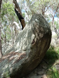
The boulders continue scattered up hill and along the creek for about 1.5km, so there is a lot to explore still.
Most of the boulders, roughly at the same altitude along a contour from the north east starting with the 'Castle Tops', snaking with the creek to the south west ending near 'Wall-e'. When you walk in you'll probably find yourself somewhere in the middle around the 'Monkey boulder'.


Logements à proximité plus Cacher
Partager ceci
Photos Rechercher parmi toutes les photos
/84/e0/84e0ea00ccc7ef1efe9573300ac1262b9e44dfe4)
jacob druce dans ★★ Walk in Park SDS V2 - DSC00173.JPG
/79/d0/79d0a6d03bd1731b737fc75b48a6b3a5cf8d7ff6)
hd dans ★★ Hd lichen helm V2 - DSC00201.JPG

★★★ Gully gaston V2 - DSC00193.JPG
Rolled Quad Boulders - P1010517.JPG
Mer 19 Avr
Regardez ce qu'il se passe à Rolled Quad Boulders.
Get a detailed insight with a timeline showing
- Ticks by climbers like you
- Discussions of the community
- Updates to the index by our users
- and many more things.
Login to see the timeline!