季节分布
描述
Nice little area with a bit sandbagged climbs in the lower sector
准入问题 取自Frankenjura
Frankenjura has an established zone concept regulating whether a rock is allowed and if yes, how: https://ig-klettern.org/naturschutz/zonierungen/
For seasonal closures of crags, see: https://ig-klettern.org/naturschutz/aktuelle-sperrungen/
For bouldering, check first: https://ig-klettern.org/klettern/wissenswertes/boulderappell/. Especially, no publishing of boulders, and no bouldering after sunset.
前往
温和的
陡坡徒步
20-30分钟
Walk over the wooden bridge at Essing. After crossing the bridge turn right an walk past "Klausenhöhle". Two minutes past the caves you will see an old, rundown wooden hut on your left. Right opposite of it, there is a small path through the bushes. On your right will shortly after entering the path a small boulder appear (you are on the right track). Follow this part uphill for another 10-15 minutes (don't get irritated from fallen trees on the path). You will see on your left are of "Blauer Klaus". GPS: North 48.930883 East 11.785891
行为准则 取自Altmühltal
see Südliche Fränkische Alb / Südlicher Frankenjura for Info.
你知道吗?
你知道吗?创建账户后,你可以记录、跟踪并分享你的攀登!数千计的攀登者已经在这么做了。


Selected Guidebooks more 隐藏
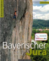
作者: E. Zieglmeier
日期: 2022
Die weitläufigen Klettergebiete um Regensburg werden ab sofort im Band Bayerischer Jura beschrieben, dabei wurden zahlreiche Neuigkeiten zwischen Altmühl und Naab aufgenommen - 480 Seiten, fast 100 Ziele mit insgesamt rund 1700 Routen.
ⓘ
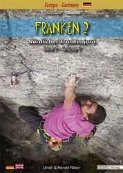
作者: Ulrich Röker and Harald Röker
日期: 2024
国际书号: 9783938680544
A comprehensive guidebook covering the southern half of the Frankenjura rock climbing area describing more than 7,500 routes.
ⓘ
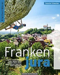
作者: Sebastian Schwertner
日期: 2021
Band 1 des Gesamtwerkes für den nördlichen Teil der fränkischen Schweiz - auf 584 Seiten werden 6100 Routen vorgestellt. Zusammen mit Band 2 ergeben das mehr als 1150 Seiten genaue Informationen zu den über 12.600 Routen des Nördliche Frankenjura …
ⓘ
附近的住宿 more 隐藏
分享至
星期天 21 5月
查看Blauer Klaus的最新动态。
Get a detailed insight with a timeline showing
- Ticks by climbers like you
- Discussions of the community
- Updates to the index by our users
- and many more things.
Login to see the timeline!