
Seasonality
Description
A small cave overlooking George's River. Rock quality is generally reasonable, with a high headwall. Plenty of possibility for more routes, the developers just aren't good enough to do them!
Access issues inherited from Sutherland
For over 50 years climbers in the Sutherland Shire have enjoyed free access to many fantastic crags and caves. But as of 2014 there have been access problems emerging at several climbing and bouldering areas due to aboriginal art sites and shell middens in caves. Sutherland Shire Council and the Dept of Enviroment and Heritage have announced closures and sign-posted some of these aboriginal sites, with further closures and signs to be added during summer/autumn 2016/2017. Areas of particular problem are ground level overhangs with flat bases, the type of terrain popular at hard bouldering areas. Whilst the details are sorted out keep a low profile, clean up ALL rubbish (inc removing mattresses in bouldering caves) and avoid climbing at closed areas. In particular treat non-climbers you see at crags with the utmost respect as they could be rangers, archeologists, traditional owners or anyone else with a dim view of climbers and the ability to shut us out. Climbing in Royal National Park has been officially banned for many years - probably due mostly to the Wattamolla 'don't jump off rocks' cliff-diving-into-water ban. For more information about aboriginal sites and rockclimbing please read this link from Sutherland Council: https://drive.google.com/file/d/0B0KxtU2nUQB9cjhHUWE4cE5HWnM/view?usp=sharing
Approach
Just a kilometer or two from Revesby Rocks along Henry Lawson Drive, this crag has a slighly longer walk in. Park here: (Parking-33.978526, 151.003931) then head into bush land just above Ducktropolis crag. Follow it up and left and look out for right turn off about 5 mins in. Head back towards water trending down on path and then via bush. Big Cave on rock line. OLD WAlK IN:Coming from Picnic Point (heading east along Henry Lawson Drive), park on the left side of the road (not heaps of room - perhaps find somewhere else) when you see a brown sign reading 'George's River National Park'. This is just near the top of the hill. Cross the road and go through the gate. Follow the fire trail which turns immediately right, following the road, then pulls away left. Follow this for around 200m before it turns left again. Not much later (!60m?) there's a significant path to the right. Follow this for around 40m and you'll find yourself at a look out of sorts, surrounded by short cliffs. There's a few decent short things here. Drop down this cliff line and head right and down the hill (there's a sort of ramp). Within 30m you'll find the cave. Hard to miss.
History
Scoped out by Dan Webster then developed one good day with the help of Ryan Myers and Darcey.
Plan your Trip
Hello!
First time here?
theCrag.com is a free guide for rock climbing areas all over the world, collaboratively edited by keen rock climbers, boulderers and other nice folks.You can log all your routes, connect and chat with other climbers and much more...» go exploring, » learn more or » ask us a question


Selected Guidebooks more Hide
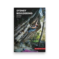
Author(s): Mike Forward and Peter Balint
Date: 2023
With 2065 bouldering problems ranging from V0-V15 across 57 areas nestled around Sydney, the all new Sydney Bouldering Guide will keep you occupied for years to come. Just because we live in Sydney we'll try not to be biased but honestly this city has some amazing bouldering and usually not more than a few minutes off the road or some even near parks and train stations. There's no need to camp out and trek for hours to get to world class problems, they're right on your door step.
Authors Mike Forward and Peter Balint spent over 7 years putting this guide together and is the first new bouldering guide for Sydney in over 20 years. It's over 350 colour pages including 600+ colour photo tops, crag tops, amazing images and more.
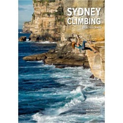
Author(s): Neil Monteith & Simon Carter
Date: 2021
ISBN: 9780645299908
Featuring 1142 climbing routes located at 24 of the best crags in the Sydney area, this A5 size guide book is super user friendly with easy to use colour cliff topos and access maps. Covers sport and trad climbing at a variety of grades, something for everyone.
ⓘ
Accommodations nearby more Hide
Share this

Sun 14 May
Check out what is happening in Party Palace Cave.
Get a detailed insight with a timeline showing
- Ticks by climbers like you
- Discussions of the community
- Updates to the index by our users
- and many more things.
Login to see the timeline!