Seasonality
Access issues inherited from Savines-les-Lacs
There is an official park that requires you to walk 15 minutes in the village. It is also possible to park in other places, in the street, nearby the path to the route.
Ethic inherited from France
Park where indicated, take care of the environment, buy the local guidebook when possible (this is one of the ways you can help local route setters), clean up your shoes before climbing, don't spray beta, be polite.
Tags
Plan your Trip
Hello!
First time here?
theCrag.com is a free guide for rock climbing areas all over the world, collaboratively edited by keen rock climbers, boulderers and other nice folks.You can log all your routes, connect and chat with other climbers and much more...» go exploring, » learn more or » ask us a question


Selected Guidebooks more Hide
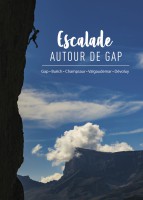
Author(s): L. Girousse
Date: 2022
Many sport climbing routes and long multi-pitches - from Dévoluy to Champsaur to Buëch and Méouge, the south of the Hautes-Alpes offers a great variety of climbing areas in magnificent landscapes.
ⓘ
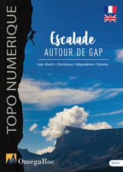
Author(s): Laurent Girousse
Date: 2022
Ce topo est la version numérique du topo Escalade autour de Gap. En plus de la région de Gap, ce topo couvre les massifs du Dévoluy, du Champsaur et, un peu plus au Nord, du Valgaudemar et de la vallée du Buëch. Il présente une vingtaine de falaises sportives, dont la partie Ouest de la célèbre falaise de Céuse, mais aussi de nombreuses grandes voies généralement tout équipées et de niveau modéré. Le contenu du topo est détaillé sur l’appli OmegaRoc.
ⓘ
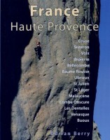
Author(s): Adrian Berry
Date: 2009
ISBN: 12490279
A selective guidebook describing over 2.500 routes at 14 different crags, which are Ceuse, Sisteron, Volx, Orpierre, Bellecombe, Baume Rousse, Ubrieux, St Julien, St Leger, Malaucene, Combe Obscure, Les Dentelles, Venasque and Buoux.
ⓘ
Accommodations nearby more Hide
Share this
Tue 2 May
Check out what is happening in Initiation.
Get a detailed insight with a timeline showing
- Ticks by climbers like you
- Discussions of the community
- Updates to the index by our users
- and many more things.
Login to see the timeline!