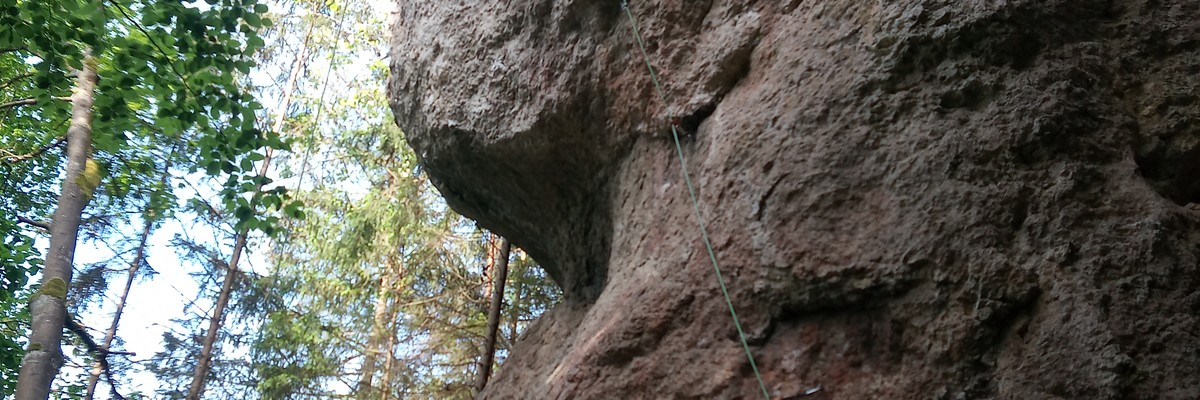
A Crag Guide gives an extensive view of all sub areas and climbs at a point in the index. It shows a snapshot of the index heirachy, up to 300 climbs (or areas) on a single web page. It shows selected comments climbers have made on a recently submitted ascent.
At a minor crag level this should be suitable for printing and taking with you on a climbing trip as an adjunct to your guidebook.
This guide was generated anonymously. Login to show your logged ascents against each route.
Warning
Rock climbing is extremely dangerous and can result in serious injury or death. Users acting on any information directly or indirectly available from this site do so at their own risk.
This guide is compiled from a community of users and is presented without verification that the information is accurate or complete and is subject to system errors. By using this guide you acknowledge that the material described in this document is extremely dangerous, and that the content may be misleading or wrong. In particular there may be misdescriptions of routes, incorrectly drawn topo lines, incorrect difficulty ratings or incorrect or missing protection ratings. This includes both errors from the content and system errors.
Nobody has checked this particlular guide so you cannot rely on it's accuracy like you would a store bought guide.
You should not depend on any information gleaned from this guide for your personal safety.
You must keep this warning with the guide. For more information refer to our:
Usage policy
Contributors
Thanks to the following people who have contributed to this crag guide:
Christoph Rauch
Campbell Gome
Thomas Hocke
Adam Orcholski
F B
The size of a person's name reflects their Crag Karma, which is their level of contribution. You can help contribute to your local crag by adding descriptions, photos, topos and more.
Table of contents
- 1. Loreley 6 in Crag
- 2. Index by grade
1. Loreley 6 routes in Crag
- Summary:
-
모두 스포츠 클라이밍
Lat / Long: 49.874394, 11.340335
- Zone 1: NO climbing
- Zone 2: climbing on existing routes
- Zone 3: new routes possible
- The limestone is soft – please clean your shoes from dirt in order to avoid polished handholds and steps.
- Don't toprope directly through bolts – use your own material.
- Clean chalk and tickmarks with a brush.
- Don't leave toilet paper.
- Pick up rubbish.
- No unnecessary noise.
- No camp fire and bivvy.
- Park considerately (tractor should be able to pass also at the weekend).
- Smoking in the forests is forbidden from March 1 until October 31 by law.
- No publishing of boulder blocks.
접근 문제들
Seasonal closures for protected birds. See here: Closed crags
Additional information: IG Klettern closure list
Zoning concept
Please respect signs and zoning.
접근
GPS: 11.34026, 49.87445
윤리문제
| Route | Grade | Style | Selected ascents | |||
|---|---|---|---|---|---|---|
| 1 | Long-time Project | 9/9+ | 18m | |||
| 2 | Powerplay | 9 | ||||
| 3 |
★★★ (?)
FA: Joshua Schulz, 2023 | 8- | 18m, 7 | |||
| 4 |
★ Fastenzeit
FFA: Stefan Löw, 1993 | 8 | 16m | |||
| 5 |
★★ Kalypso
FFA: Stefan Löw, 1993 | 8- | 16m | |||
| 6 | Band on the Run | 7+ | ||||
2. Index by grade
| Grade | Stars | Name | Style | Pop | |
|---|---|---|---|---|---|
| 7+ | Band on the Run | ||||
| 8- | ★★★ | (?) | 18m, 7 | ||
| ★★ | Kalypso | 16m | |||
| 8 | ★ | Fastenzeit | 16m | ||
| 9 | Powerplay | ||||
| 9/9+ | Long-time Project | 18m |