Sazonalidade
Descrição
The Southside Crags are located on the left side of Meadow River up- and down-stream of highway 19. All sectors are located along the old railway track.
Acesso
Drive North on highway 19 and take highway 60 south until you reach Lookout. Take a left on Propps Ridge road and follow it for about 4.5 miles. At this point the paved road takes a right to a big locked gate, you continue straight on the gravel road. Cross two creeks on old wooden railroad bridges and continue on the gravel road until you see a small parking below on your left. Park there and hike along the road (left from where you arrived) and cross another bridge (the road got blocked with big boulders just after this bridge. In the past it was possible to drive along Meadow River to the different sectors). Continue along the former railroad track to the various sectors that are on your left up the hill.
Ética herdado de Meadow River
The land ownership at Meadow River varies a lot, from private land to National Recreation Area land, please behave accordingly and leave no trace!
Etiquetas
Planeje sua Viagem
Olá!
Primeira vez aqui?
theCrag é um guia gratuito de escalada em rocha do mundo todo, editado voluntariamente por escaladores e simpatizantes. Você pode registrar todas suas vias, se conectar e conversar com outros escaladores, e muito mais…» Descubra mais, » aprenda mais ou » nos questione algo


Selected Guidebooks more Ocultar
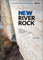
Author(s): Mike Williams
Data: 2021
ISBN: 978193839402
- Wolverine
- Volume 2 of New River Rock documents the climbing north of the main gorge of the New, with over 1,400 routes on the crags along the Meadow and Gauley rivers and surrounding Summersville Lake.
- Details 1,400 routes
- Includes a detailed history of the area and camping and visitor info
- Color photography throughout
- Every book purchase supports the New River Gorge Climber's Alliance
ⓘ
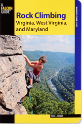
Author(s): Eric J. Horst
Data: 2013
- FalconGuides:
- The revised and updated edition of Rock Climbing Virginia, West Virginia and Maryland describes more than 1200 routes at 23 different areas including Seneca Rocks and the New River Gorge.
ⓘ
Acomodações próximas more Ocultar
Compartilhar isto
Destaques na proximidade
| 5.12b | ★★★ Depth Charge | ||
| 5.13a | ★★★ Smack Down | ||
| 5.13b | ★★★ Crossing the Line | ||
| 5.13c | ★★★ The Project |
Tue 2 May
Veja o que está acontecendo em Southside Crags.
Get a detailed insight with a timeline showing
- Ticks by climbers like you
- Discussions of the community
- Updates to the index by our users
- and many more things.
Login to see the timeline!