Historique de la voie
There is no known route history.
Alertes
Localisation
- Lat/Lon: 45.98864, 6.39475
Citation de la cotation
| 4/5 | Cotation(s) agréée(s) par la communauté |
Selected Guidebooks plus Cacher
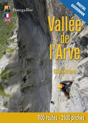
Auteur·e·s: Gilles Brunot
Date: 2024
This guidebook is the bible of the Arve Valley. It presents most of the sport crags and multi-pitch routes in the valley, between Cluses and Les Contamines-Montjoie. Predominantly on limestone cliffs (with some gneiss cliffs on the side of Les Contamines) you'll find varied climbing, both in styles and levels.
With 1260 routes spread across 51 sites, there's something for everyone: from single-pitch routes to much taller cliffs, and even some very adventurous sectors (only the most classic routes are detailed here).
The guidebook is produced by Gilles Brunot and the profits generated from the sales of these guidebooks are donated to the EKIPROC association, which funds a significant amount of the equipment used to bolt or re-bolt routes in Haute-Savoie.
The main cliffs in the valley are:
- Sport crags
- Balmette and Superbalmette, Bionnassay, Cascade de Doran, La Duchère, Le Clis, La Frasse, Sous les glaciers
- Multi-pitch sites
- Pointe d’Ayère, Balme, La Croix de Fer, La Maladière, Tête Louis-Philippe, Tours d’Areu, Les Vuardes.
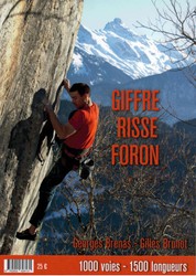
Auteur·e·s: Georges Brenas & Gilles Burnot
Date: 2021
ISBN: 9782902628131
A selective guidebook describing 1,000 multi-pitch routes and single pitch sport routes in the Haute Savoie area of France, covering Haut Giffre; Morzine – Les Gets; Taninges – Mieussy; and Valle du Risse.
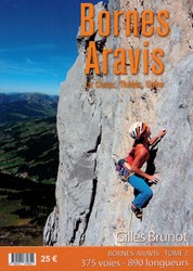
Auteur·e·s: Gilles Brunnot
Date: 2020
ISBN: 9780201379624
A selective guidebook describing 375 routes in the southern Bornes-Aravis area of the French Alps, covering the Thones, Ugine, Aravis, and La Clusaz areas.
Logements à proximité plus Cacher
Partager ceci
Get a detailed insight with a timeline showing
- Ticks by climbers like you
- Discussions of the community
- Updates to the index by our users
- and many more things.
Login to see the timeline!