A Crag Guide gives an extensive view of all sub areas and climbs at a point in the index. It shows a snapshot of the index heirachy, up to 300 climbs (or areas) on a single web page. It shows selected comments climbers have made on a recently submitted ascent.
At a minor crag level this should be suitable for printing and taking with you on a climbing trip as an adjunct to your guidebook.
This guide was generated anonymously. Login to show your logged ascents against each route.
Warning
Rock climbing is extremely dangerous and can result in serious injury or death. Users acting on any information directly or indirectly available from this site do so at their own risk.
This guide is compiled from a community of users and is presented without verification that the information is accurate or complete and is subject to system errors. By using this guide you acknowledge that the material described in this document is extremely dangerous, and that the content may be misleading or wrong. In particular there may be misdescriptions of routes, incorrectly drawn topo lines, incorrect difficulty ratings or incorrect or missing protection ratings. This includes both errors from the content and system errors.
Nobody has checked this particlular guide so you cannot rely on it's accuracy like you would a store bought guide.
You should not depend on any information gleaned from this guide for your personal safety.
You must keep this warning with the guide. For more information refer to our:
Usage policy
Contributors
Thanks to the following people who have contributed to this crag guide:
The size of a person's name reflects their Crag Karma, which is their level of contribution. You can help contribute to your local crag by adding descriptions, photos, topos and more.
Table of contents
- 1.
Mount Stephen
1 in Crag
- 1.1. Apocalyptic Wall 1 in Cliff
- 2. Index by grade
1. Mount Stephen 1 route in Crag
- Summary:
-
All Alpine climbing
Lat / Long: 51.392543, -116.436413
description
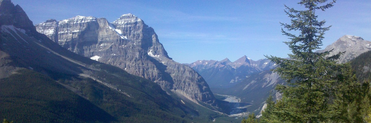
Mount Stephen, 3,199 m (10,495 ft), is a mountain located in the Kicking Horse River Valley of Yoho National Park, ½ km east of Field, British Columbia, Canada. The mountain is mainly composed of shales and dolomites from the Cambrian Period, some 550 million years ago. The Stephen Formation, a stratigraphical unit of the Western Canadian Sedimentary Basin was first described at the mountain and was named for it. Stephen has a subpeak known as Stephen SE1, at the end of a 1 km ridge, 132⁰ from the main peak, visible from Lake O'Hara.
The main route (a scramble) ascends slopes on the southwest face but requires much route finding and the final section of 125 m (410 ft) to the top is rated difficult. A cornice on the summit may prevent parties from reaching the top so if in doubt of conditions, attempts should wait until August. The route also passes through a fossil bed and thus requires a special park permit to be in the area. The elevation gain is 1,920 m (6,299 ft).
For rock climbers, a route on the north ridge is rated III 5.7 with generally good rock formations composed mainly of quartzite.
history
The mountain was named in 1886 for George Stephen, the first president of the Canadian Pacific Railway.
The first ascent was made on September 9, 1887 by James. J. McArthur and his assistant T. Riley
1.1. Apocalyptic Wall 1 route in Cliff
- Summary:
-
Lat / Long: 51.398341, -116.431649
| Route | Grade | Style | Selected ascents | |||
|---|---|---|---|---|---|---|
| 1 |
The Accomplice
FA: Simms & Brazeau, 7 Aug 2014 | 5.11+ VI | 1100m, 20 | |||
2. Index by grade
| Grade | Stars | Name | Style | Pop | Area | |
|---|---|---|---|---|---|---|
| 5.11+ VI | The Accomplice | 1100m, 20 | 1.1. Apocalyptic Wall |