A Crag Guide gives an extensive view of all sub areas and climbs at a point in the index. It shows a snapshot of the index heirachy, up to 300 climbs (or areas) on a single web page. It shows selected comments climbers have made on a recently submitted ascent.
At a minor crag level this should be suitable for printing and taking with you on a climbing trip as an adjunct to your guidebook.
This guide was generated anonymously. Login to show your logged ascents against each route.
Warning
Rock climbing is extremely dangerous and can result in serious injury or death. Users acting on any information directly or indirectly available from this site do so at their own risk.
This guide is compiled from a community of users and is presented without verification that the information is accurate or complete and is subject to system errors. By using this guide you acknowledge that the material described in this document is extremely dangerous, and that the content may be misleading or wrong. In particular there may be misdescriptions of routes, incorrectly drawn topo lines, incorrect difficulty ratings or incorrect or missing protection ratings. This includes both errors from the content and system errors.
Nobody has checked this particlular guide so you cannot rely on it's accuracy like you would a store bought guide.
You should not depend on any information gleaned from this guide for your personal safety.
You must keep this warning with the guide. For more information refer to our:
Usage policy
Contributors
Thanks to the following people who have contributed to this crag guide:
Danny van Bruggen
Support theCrag
Christophe Bouchar
Kasper
The size of a person's name reflects their Crag Karma, which is their level of contribution. You can help contribute to your local crag by adding descriptions, photos, topos and more.
Table of contents
- 1. Rocher du Camp Romain / Falaise de Lompret 7 in Crag
- 2. Index by grade
1. Rocher du Camp Romain
- Summary:
-
Tutti Arrampicata sportiva
Lat / Long: 50.064533, 4.381549
bij restaurant L'Eau Blanche de weg oversteken en het bos in, of
er is een redelijk met de auto te rijden bospad dat van achteren richting de rotsen gaat. Neem de (afslag50.068261, 4.388406) en parkeer net voor de weide. Iets verder sta je bovenaan de rots. Aan de zijkant is een spannend paadje naar beneden.
sommario
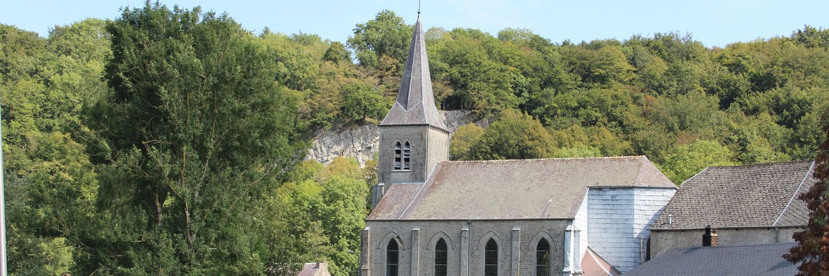
Een flink hoge rots die over het dorpje uitkijkt.
descrizione
limitazioni per l'accesso
Climbing is tolerated, no groups allowed.
avvicinamento
storia
Deels herbehaakt in 2020.
| Route | Grade | Style | Selected ascents | |||
|---|---|---|---|---|---|---|
| 1 | Les Tâches Blanches | 5c | ||||
| 2 | Le Dièdre | |||||
| 3 | La Vestale | D | ||||
| 4 | Les Nerviens | 5b | ||||
| 5 | La Légionnaire | AD | ||||
| 6 | ★★ La Williamine | 5b | ||||
| 7 | La Robert Robert | 5c | ||||
2. Index by grade
| Grade | Stars | Name | Style | Pop | |
|---|---|---|---|---|---|
| 5b | ★★ | La Williamine | |||
| Les Nerviens | |||||
| 5c | La Robert Robert | ||||
| Les Tâches Blanches | |||||
| ? | Le Dièdre | ||||
| AD | La Légionnaire | ||||
| D | La Vestale |