Saisonalität
Übersicht
Einschränk. übernommen von Frankenjura Nord
Seasonal closures for protected birds. See here: Closed crags
Additional information: IG Klettern closure list
Zoning concept
- Zone 1: NO climbing
- Zone 2: climbing on existing routes
- Zone 3: new routes possible
Please respect signs and zoning.
Zustieg
sanfter Zustieg
10-20 min
Drive from Fischbrunn in the Hirschbach valley to Hegendorf. In the village, turn left (inconspicuous sign) towards "Neutras". The road turns into a dirt road at the end of the village. Follow this to the big (paid!) hiker's parking lot.
From the parking, walk northeast (sign towards the via ferrata "Höhenglücksteig") on the dirt road. At the edge of the forest, follow the hiking path marked with a red dot. This leads to "Weiße Wand" after a few minutes. Walk along the base of the crag to the right (east) to reach Röthenbacher Wand after 100 meters.
Coordinates:


Ethik übernommen von Frankenjura Nord
- The limestone is soft – please clean your shoes from dirt in order to avoid polished handholds and steps.
- Don't toprope directly through bolts – use your own material.
- Clean chalk and tickmarks with a brush.
- Don't leave toilet paper.
- Pick up rubbish.
- No unnecessary noise.
- No camp fire and bivvy.
- Park considerately (tractor should be able to pass also at the weekend).
- Smoking in the forests is forbidden from March 1 until October 31 by law.
- No publishing of boulder blocks.
Tags
Plane deinen Trip
Informationen benötigt!
Diese Klettergebiet hat keine Beschreibung. Kannst du eine Beschreibung dieses Gebiets erstellen?
Solltest du bessere oder weiterführende Informationen für die Klettergemeinschaft haben, klicke bitte auf 'Klettergebiet bearbeiten' im oberen Bereich der Seite.


Selected Guidebooks mehr Verbergen
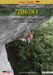
Autor(en): Ulrich & Harald Röker
Datum: 2023
ISBN: 9783938680490
Volume 1 of the Climbing Guidebook Franken describes 6450 routes on 479 crags - the complete work, including Volume 2, offers information about more than 13,500 routes.
ⓘ
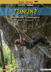
Autor(en): Ulrich & Harald Röker
Datum: 2020
Volume 2 of the Climbing Guidebook Franken describes 6790 routes on 387 crags - the complete work, including Volume 1, offers information about more than 13,500 routes.
ⓘ
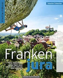
Autor(en): Sebastian Schwertner
Datum: 2021
Band 1 des Gesamtwerkes für den nördlichen Teil der fränkischen Schweiz - auf 584 Seiten werden 6100 Routen vorgestellt. Zusammen mit Band 2 ergeben das mehr als 1150 Seiten genaue Informationen zu den über 12.600 Routen des Nördliche Frankenjura …
ⓘ
Unterkünfte in der Nähe mehr Verbergen
Inhalt teilen
Mi 26 Apr
Finde heraus, was in Röthenbacher Wand passiert.
Erhalte einen detaillierten Einblick mit einer Zeitleiste, die zeigt
- Begehungen von Kletterern
- Diskussionen in der Community
- Aktualisierungen des Indexes durch unsere Benutzer
- und viele weitere Dinge.
Logge Dich ein, um die Zeitleiste zu sehen!